Madeira in 5 Days: One Funchal Base, Four Drives
Five days on Madeira from one Funchal hotel: Monte on foot, then four car loops, 323 km at the wheel, day 5 at 99 km, and a plan for closed roads.
Five days on Madeira can run from a single hotel in Funchal: a walking day, then four drives that each end back at the same bed. The four drives come to 323 km (332 km if day 1’s Monte loop is counted by road), and the longest, day 5, is 99 km and almost two hours at the wheel before any stops. Day 3 is written so it doesn’t depend on the summit: on 16 November 2026 its bus was suspended over a road closure that the official roads list didn’t show.
How the five days are cut
Distances and times come from the OSRM road router (an open routing engine built on OpenStreetMap data), run on 16 November 2026 for a car, from Funchal to the stops of each day and back. They’re driving time without stops or traffic. The map line on this page follows the order of the stops; the table gives the loop you actually drive each day. Figures are rounded, so the rows add up to a kilometre less than the total.
| Day | Area | Loop from Funchal | Distance | Time at the wheel |
|---|---|---|---|---|
| 1 | Funchal and Monte | Cable car up, back on foot or by toboggan | - | - |
| 2 | South-west coast | Câmara de Lobos, Cabo Girão, Ponta do Sol, Calheta | 72 km | 1 h 32 min |
| 3 | Mountains and north-east | Pico do Areeiro, Ribeiro Frio, Santana | 86 km | 1 h 48 min |
| 4 | East | Machico, Ponta de São Lourenço | 65 km | 1 h 9 min |
| 5 | North-west | Porto Moniz, Seixal | 99 km | 1 h 56 min |
Day 5 is the longest and it’s on the north coast, so keep it for a clear morning. One hotel for all five nights means you unpack once. If you’d rather move base, Madeira in 7 days by car circles the island with fewer kilometres a day. The price is that every day ends with the same road home, the stretch back into the capital, so leave the far end of each loop by mid-afternoon.
Two things to settle before you land. Book the walking slot for day 4, and book the car for days 2 to 5 rather than the whole stay. The car hire guide covers where to collect it, the card hold and what the insurance leaves out. The Funchal guide has the airport transfer. Entry rules, Funchal’s weather by month and the tourist tax are in the before-you-go guide, and the travel insurance guide covers what a policy pays if a walk goes wrong.
Day 1: Funchal and Monte, on foot
Keep the first day free of the car. The Funchal guide has the old town, the market and the cable car, and the day’s one climb is to Monte, 4.4 km above the city by road. Go up by cable car and come down by toboggan or on foot (the toboggan rides don’t run on Sundays); you’ll find times, fares and where the ride ends on the Funchal page, and the Monte guide adds the Monte Palace garden and the way back from Livramento.
Day 2: the south-west loop
Head west along the coast, with the first stop at Câmara de Lobos, a fishing harbour only 9 km from Funchal. Cabo Girão is the next 5 km, and the Cabo Girão skywalk guide has the ticket and the opening hours. Then go on to Ponta do Sol, a municipality that Visit Madeira says generally gets the most hours of sunshine a year, with a basalt pier from 1849 and a viewpoint over the roofs, and turn round at Calheta, a municipality of beaches and walking trails, 33 km from Funchal on the way back. Calheta is also the base of Lobosonda’s whale-watching boats, and the whale-watching guide sets them against the trips from Funchal.
The whole loop is 72 km and about an hour and a half of driving, so it leaves most of the day for stopping. Expressway tunnels carry you along stretches of the coast. There are no tolls on any expressway or main road on the island, according to Visit Madeira. For lunch, the Madeiran food guide names the espetada houses in Estreito de Câmara de Lobos, in the hills above the harbour.
Day 3: Areeiro, Ribeiro Frio and Santana
On a clear day this is the strongest of the five: Pico do Areeiro at 1,818 m for the view, Ribeiro Frio for the forest, then Santana on the north coast. The central mountains guide covers the summit area in detail.
Check the mountain before you drive up. The Horários do Funchal bus to Pico do Areeiro has been suspended since 12 November 2026 over a closure between Poiso and the summit, and the official roads list didn’t agree on that road, so don’t plan the day around the summit; the central mountains guide has both sources.
The walk on this side is the Pico do Areeiro to Pico Ruivo trail, PR1. The PR1 is closed on the board’s hiking page as of 16 November 2026, and it only runs one way from the Pedra Rija viewpoint onward, so with a single car it needs a plan even when it opens. The Pedra Rija viewpoint itself is a return walk (€4.50 when open).
If Areeiro is shut, the day still works. Ribeiro Frio is on the way, and its Balcões trail (PR11) was open: 1.5 km each way, about 1 h 30 min, €4.50 per visitor over 12, starting on the ER103 road at Ribeiro Frio. After that, Santana is 17.5 km on. Back to Funchal it’s 39.5 km and 42 minutes by the expressway. Without the summit the loop is shorter than the 86 km in the table.
Pico Ruivo can still go on the day’s list. Its short trail, PR1.2, was listed as open on the board’s hiking page on 16 November 2026 and needs a booked slot like every PR trail, but the detour to its start at Achada do Teixeira above Santana isn’t in the table’s 86 km, so read the central mountains guide before you plan it.
Day 4: Machico and Ponta de São Lourenço
Day 4 heads east, 22 km and 23 minutes to Machico, where Zarco and Tristão Vaz Teixeira came ashore in July 1419, as Visit Madeira tells it, and the bay is worth a short stroll. The headland is 12 km further on. Madeira’s walking trails with a PR number must be booked in advance on the SIMplifica platform, and the entry slots are 30 minutes long. The headland walk, PR8, costs €4.50 per visitor over 12 and the board gives about 2 h 30 min for the route, 4 km each way, with some minor temporary diversions on 16 November 2026. Book it when you book the car rather than at breakfast. The levada walks guide explains what happens to the fee if you cancel, and the Ponta de São Lourenço guide has the whole walk and a plan for a windy day.
The loop is 65 km and a lighter drive than the others, so take it if the morning starts grey in the west.
Day 5: Porto Moniz and Seixal
Day 5 starts with 49 km and nearly an hour to Porto Moniz at the north-west tip, home of the lava pools, which were open on 16 November 2026. There are changing rooms and a bar on site, so you can swim, change and eat without going back to the car. Seixal is 9 km on, a village with a black-sand beach and the Poças das Lesmas natural pools by Laje beach; the board lists an entry fee for the pools and warns that large waves can arise suddenly, so look at the sea before you get in. The way back to Funchal is 41 km, 46 minutes.
The loop is 99 km and 1 h 56 min of driving, so leave Funchal early and start the return by mid-afternoon. With a spare morning, Fanal’s laurel forest is about 21 minutes up the hill from Porto Moniz by road.
If it rains, or the mountain is shut
Days 2 to 5 can be shuffled. The tourist board says the south is usually warmer and drier, while the north and the mountains are more exposed to wind and rain, and that there can be fog and cooler air in the hills while it’s sunny by the sea. So put day 2 (the south-west) on the wettest morning and keep days 3 and 5 for the clear ones. A lost mountain day isn’t wasted: swap in the south-west loop and let the summit take the next clear forecast, since all five days start from the same hotel.
Without a car
The loops are written for a car; without one, the practical substitute is a tour or a taxi for each day. Public buses run under the SIGA brand, and their timetables and fares are on siga.madeira.gov.pt, so check a day’s connections there before you build it around a bus. The transport guide has the fares and the GIRO card.
The route day by day
- Days
- 5
- Distance
- ≈332 km
The route at a glance
-
Funchal
Start of the routeThe base for all five nights; day 1 is on foot.
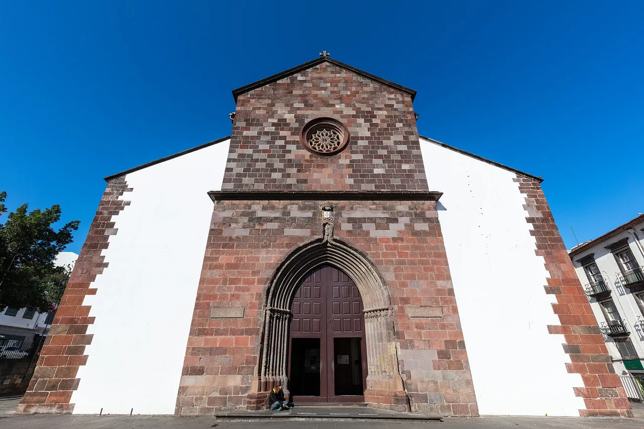
Photo: Diego Delso / Wikimedia Commons, CC BY-SA 4.0 ( source) -
Monte
4 km from the startAbove the city, 4.4 km by road; cable car up, toboggan (it ends in Livramento) or walk down.
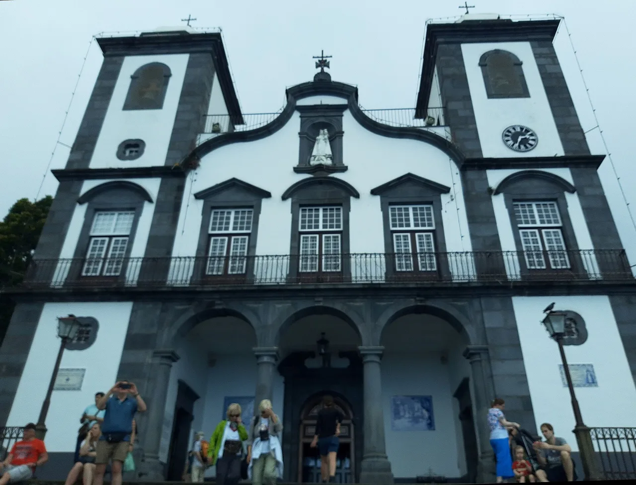
Photo: Gerda Arendt / Wikimedia Commons, CC0 ( source) -
Câmara de Lobos
18 km from the startFishing harbour, 9.1 km from Funchal.
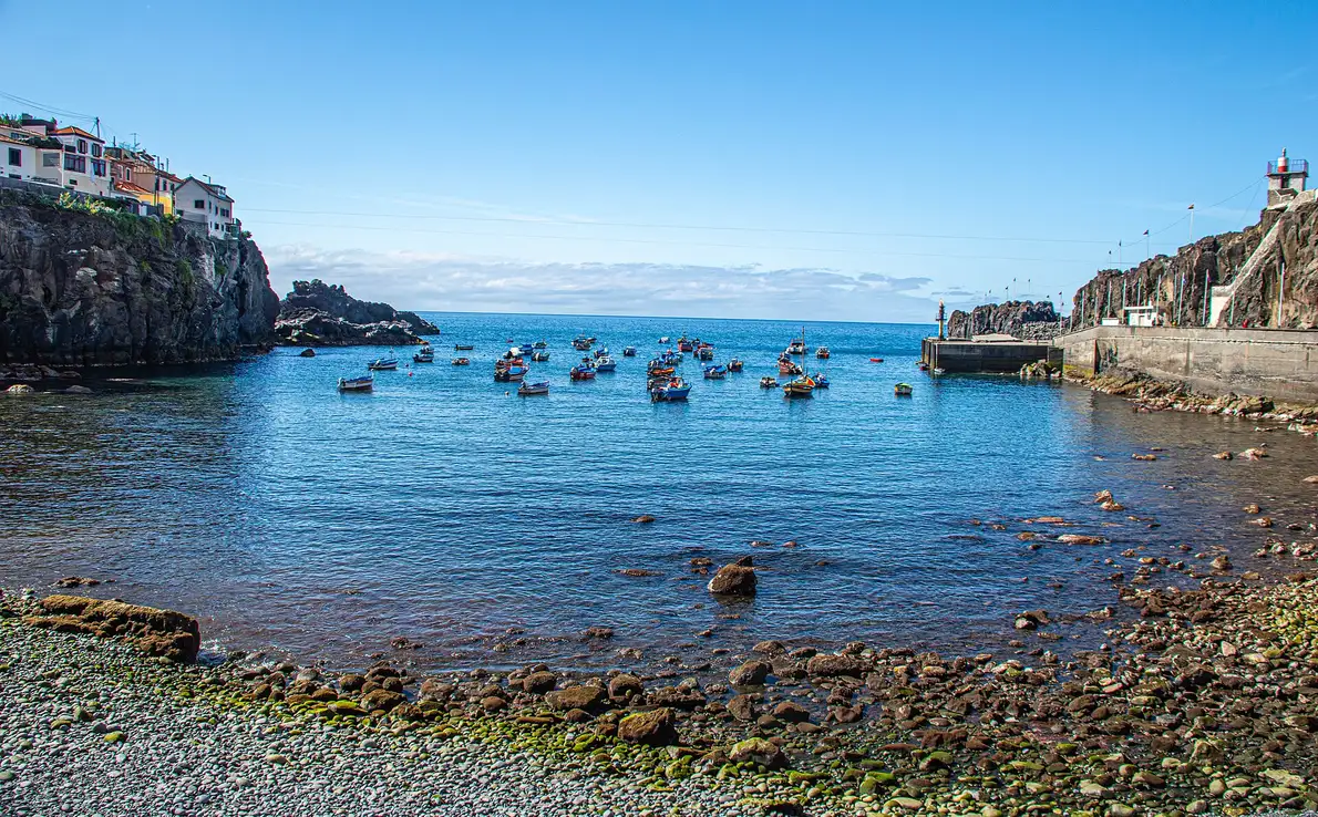
Photo: “Baía de Câmara de Lobos”, Michael Gaylard from Horsham, UK / Wikimedia Commons, CC BY 2.0 ( source) -
Cabo Girão
23 km from the startThe skywalk on the sea cliff.
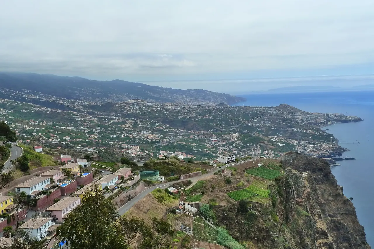
Photo: “177Cabo”, Kramer96 / Wikimedia Commons, CC BY 3.0 ( source) -
Ponta do Sol
38 km from the startKnown for the most sunshine hours on the island; a basalt pier from 1849 and a viewpoint over the town.
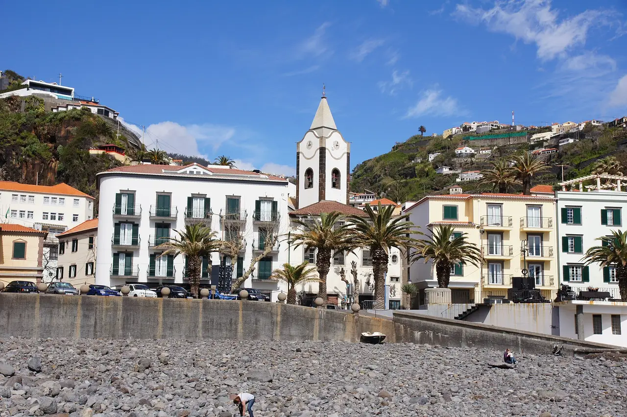
Photo: “2011-03-05 03-13 Madeira 249 Ponta do Sol”, Allie_Caulfield / Wikimedia Commons, CC BY 2.0 ( source) -
Calheta
49 km from the startTurning point of day 2: a municipality of beaches and walking trails; 32.7 km back to Funchal.
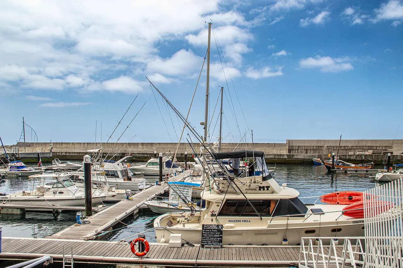
Photo: “Calheta”, Michael Gaylard from Horsham, UK / Wikimedia Commons, CC BY 2.0 ( source) -
Pico do Areeiro
99 km from the startSummit viewpoint at 1,818 m; check the road before you set off.
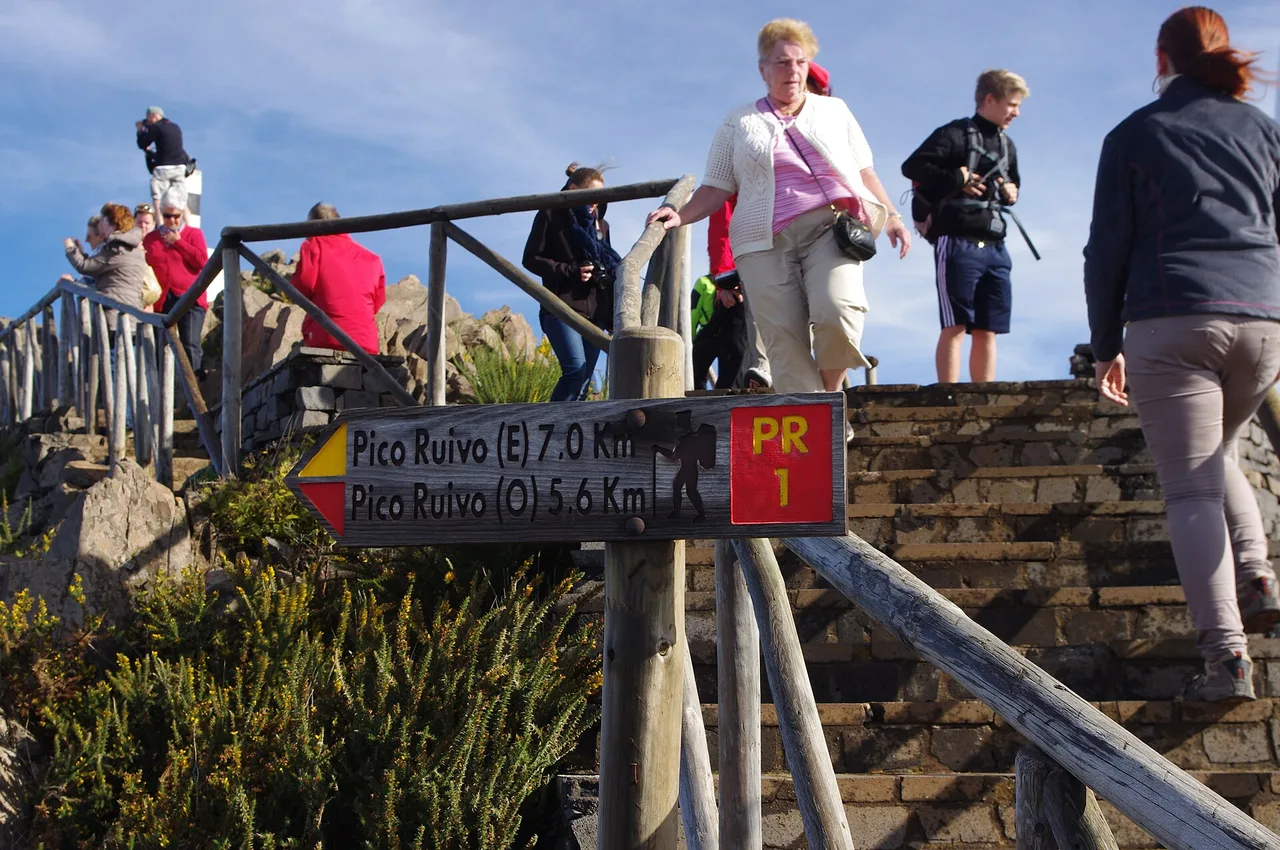
Photo: “2012-10-26 12-14-05 Pentax JH”, Jan Helebrant / Wikimedia Commons, CC BY-SA 2.0 ( source) -
Ribeiro Frio
111 km from the startStart of the Balcões trail.
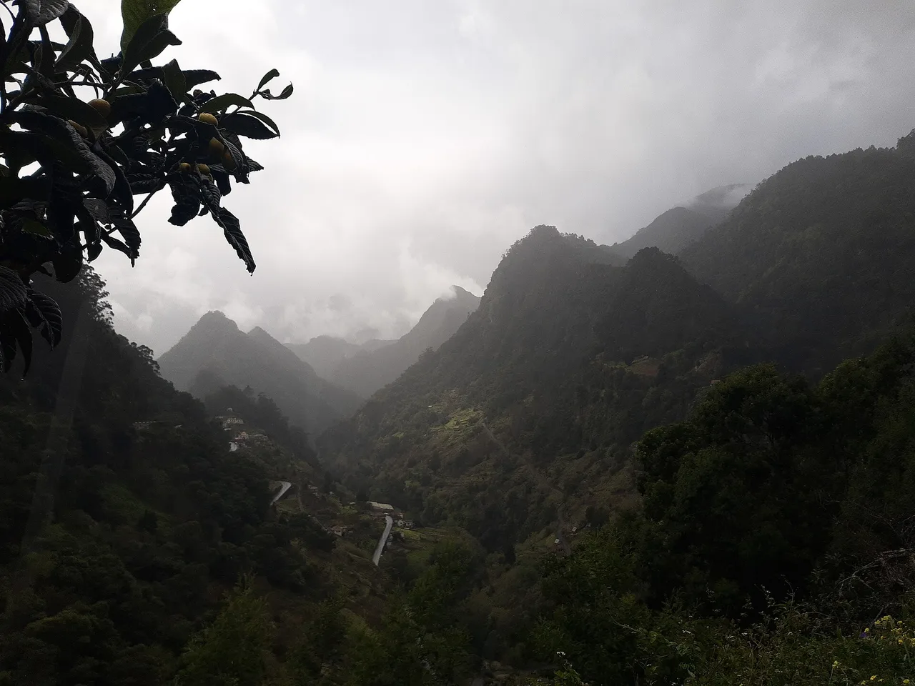
Photo: Gerda Arendt / Wikimedia Commons, CC0 ( source) -
Santana
128 km from the startNorth-coast village; 39.5 km back to Funchal.
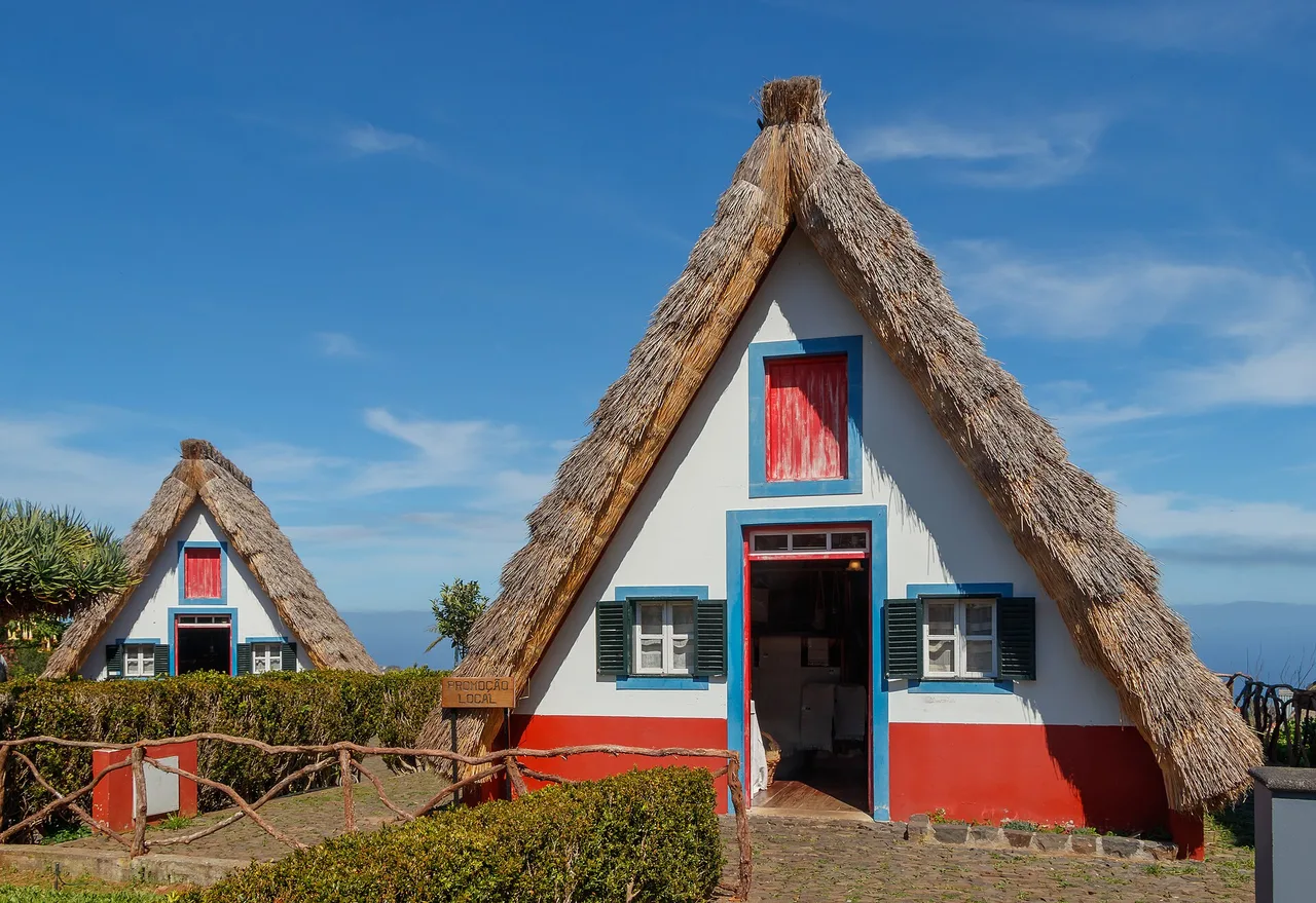
Photo: “Traditional farmhouse - Santana 06”, H. Zell / Wikimedia Commons, CC BY-SA 3.0 ( source) -
Machico
190 km from the startWhere the island's discoverers landed in July 1419, with a bay to stroll; 22.1 km from Funchal.
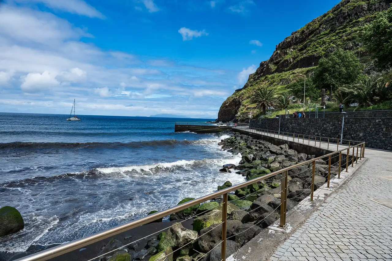
Photo: “Machico”, Michael Gaylard from Horsham, UK / Wikimedia Commons, CC BY 2.0 ( source) -
Ponta de São Lourenço
202 km from the startThe headland walk (PR8), booked in advance.
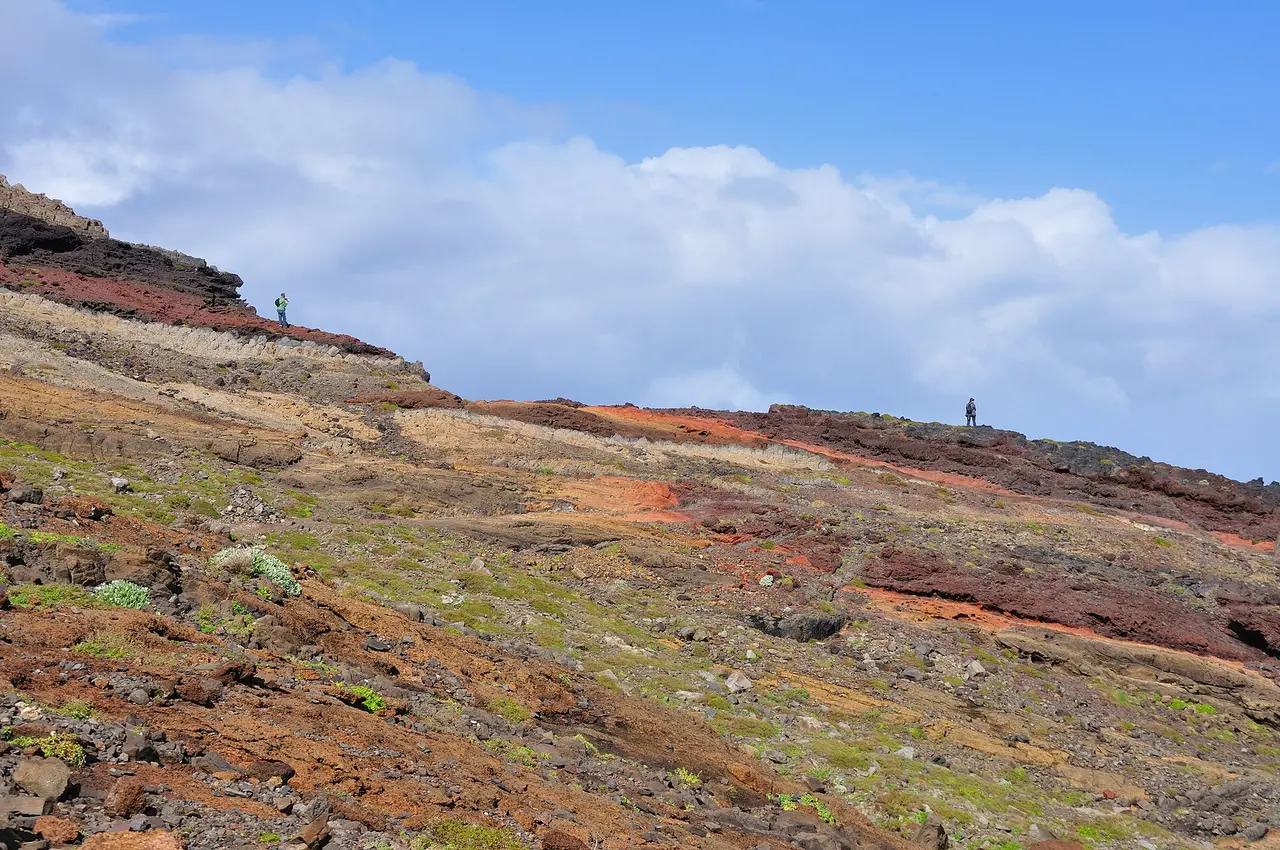
Photo: “2010-03-02 16 49 26 Portugal-Caniçal”, Hansueli Krapf / Wikimedia Commons, CC BY-SA 3.0 ( source) -
Porto Moniz
282 km from the startLava pools at the north-west tip, 49.2 km from Funchal.
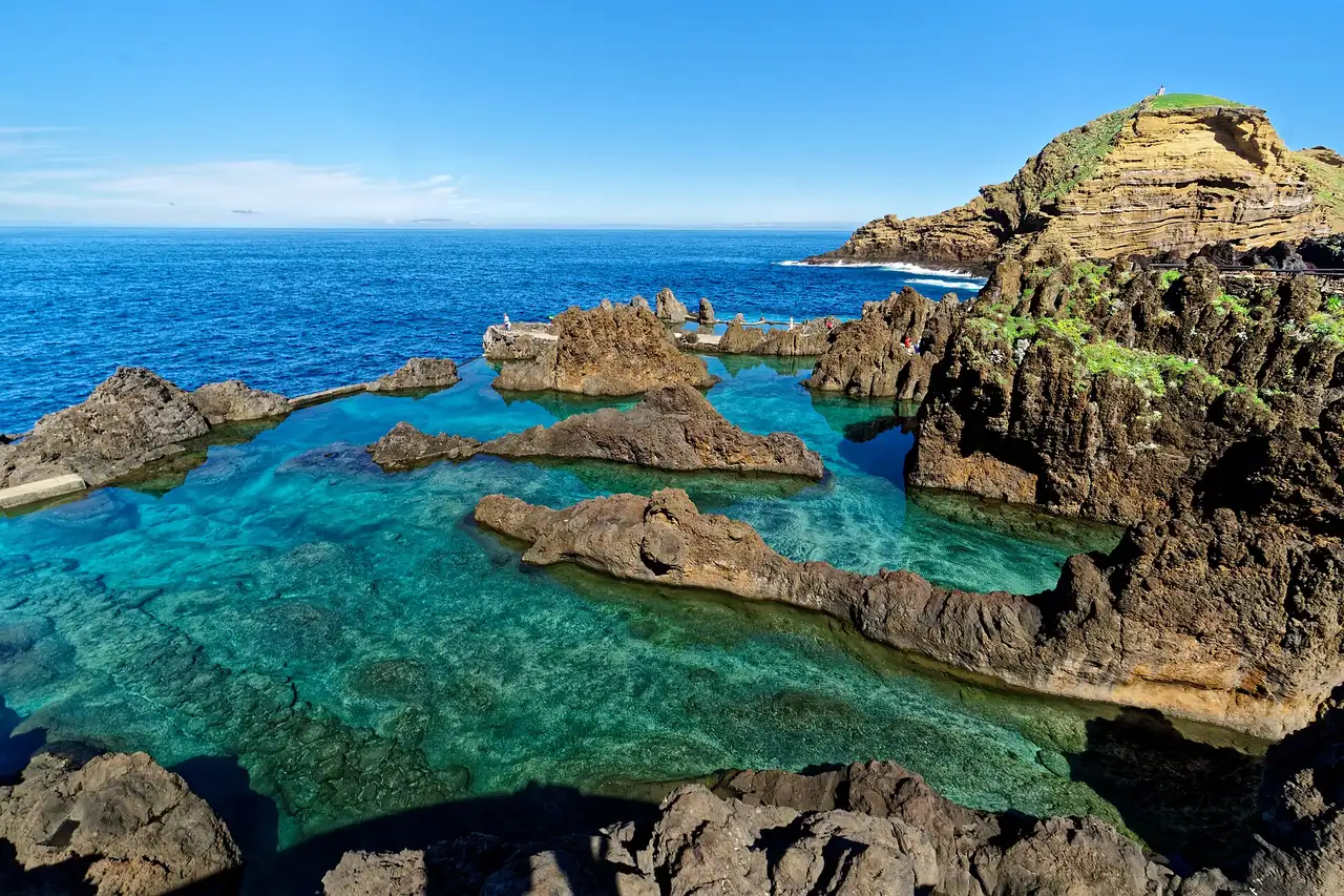
Photo: Holger Uwe Schmitt / Wikimedia Commons, CC BY-SA 4.0 ( source) -
Seixal
291 km from the startA black-sand beach and the Poças das Lesmas natural pools nearby; 9 km from Porto Moniz, 40.6 km back to Funchal.
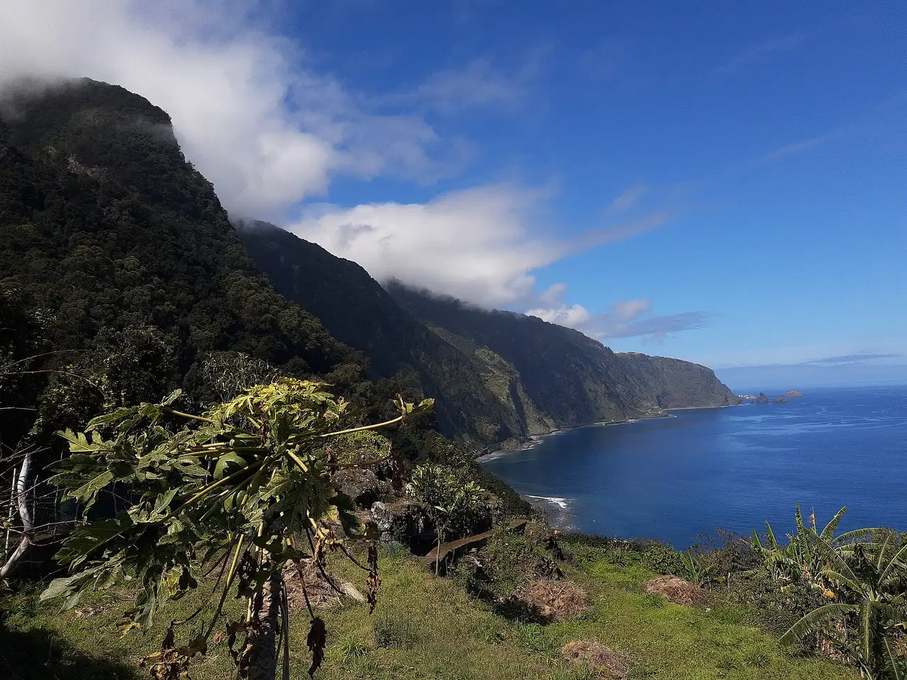
Photo: Gerda Arendt / Wikimedia Commons, CC0 ( source)
Route map
The map with the stops loads on click, to keep the page light.
The map didn’t load. Check your connection and refresh the page.